Study
Comparing neighborhood incomes within one ZIP area
A MarketGround study
A ZIP-wide figure can combine neighborhoods with different characteristics. We examined Ashburn's ZIP area 20147 and compared smaller areas within it to see how household income varies locally.
The problem
Understand the geographic units
ZIP codes organize mail delivery. Census ZIP Code Tabulation Areas, or ZCTAs, provide geographic areas for reporting statistics. Census block groups are smaller statistical areas within tracts and counties. Comparing those smaller areas can reveal variation within a ZCTA.
The example
ZIP area 20147, Ashburn, Virginia
The ZCTA has 67,707 residents and a median household income of $169,041. Among the 35 selected block groups with published income estimates, the medians range from $75,367 to more than $250,000.
Median household income for the 35 selected block groups with published estimates.
What it means for a site
Compare two one-mile areas within the ZIP area
We drew one-mile circles around the selected lower-income and higher-income block group centers, four miles apart within the same ZIP area.
| Area | Size | Residents | Households | Median income | Median age |
|---|---|---|---|---|---|
| The ZIP as a whole | 52.1 km² | 67,707 | 25,189 | $169,041 | 39.6 |
| One mile around eastern Ashburn | 8.1 km² | 15,608 | 6,470 | $143,137 | 47.3 |
| One mile around western Ashburn | 8.1 km² | 15,271 | 5,144 | $197,647 | 39.2 |
Swipe the table sideways to see every column.
Demographic estimates are calculated for each selected area. Medians are reconstructed from the underlying income distributions.
The eastern area has a median household income of $143,137 and a median age of 47.3. The western area has a median income of $197,647 and a median age of 39.2. Their income medians differ by $54,510, and the eastern area has about twice as many renter households.
What to do instead
Compare a site area with the wider ZIP area
Draw a radius, rings or a travel area around the location you are evaluating. Review its population and household characteristics, then compare those results with the ZCTA. The comparison shows how the immediate area relates to its broader postal geography.
How an area becomes numbers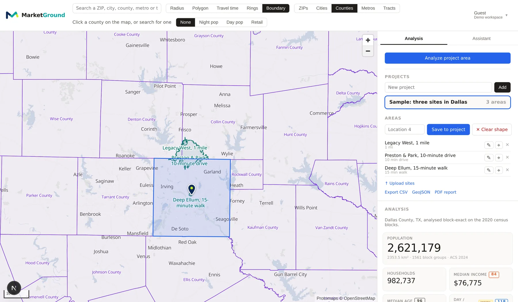
Methodology
How these numbers were made
The ZIP-wide figures use ZCTA 20147. The block-group comparison includes the 35 areas whose interior points fall within that ZCTA and which have published median household income estimates. The upper value indicates an income median above the Census reporting threshold.
The two areas are one-mile circles centered on the interior point of the lowest and highest income block groups in the ZIP area, at 39.03426, -77.46608 and 39.04357, -77.51091. Every figure is allocated to the shape by the share of each block group captured, and medians are reconstructed from their underlying distributions.
One caveat. Survey estimates carry margins of error that grow as the area shrinks, so a single block group is a noisier figure than an area that covers sixteen of them. That is a reason to draw a trade area rather than quote one block group, and it does not make the ZIP-wide figure a better description of a site.
Questions
Questions people ask
What is a census block group?
The smallest geography for which the Census Bureau publishes its detailed demographics, usually between 600 and 3,000 people. Block groups nest exactly inside census tracts, which nest inside counties, and they are drawn to hold statistically useful populations rather than to deliver post.
Why are ZIP codes a poor unit for site selection?
ZIP-wide figures provide a broad view that can combine neighborhoods with different populations and household characteristics. Comparing smaller areas helps you understand the market immediately around a site.
How much does the ZIP average hide?
In ZIP area 20147 in Ashburn, Virginia, the ZIP-wide median household income is $169,041. The 35 selected block groups inside it run from $75,367 to more than $250,000, and two one-mile areas within the same ZIP differ by $54,510 and by eight years of median age.
When is a ZIP code the right unit?
A ZIP area is useful when your business information or territory definition is organized that way. Examples include sales summaries, delivery areas and franchise territories. MarketGround lets you examine that geography and compare it with areas around individual locations.
Does MarketGround support both?
Yes. A ZIP area, city, county, metro area or census tract can be analyzed as itself, picked from the search box or clicked on the map, and any shape you draw is built up from block groups allocated by the share captured. The two approaches answer different questions and the product does not force a choice.
More analysis
Related research
Explore related studies and practical guides. Each article presents a geographic comparison and links to the methods behind it.
Compare daytime population, jobs and listed businesses within the same radius around four Northern Virginia employment centers.
Compare ten-minute driving areas and similarly sized circles around four locations.
See how overlapping territories change the combined population estimate for two Plano locations.
Compare two areas within a familiar ZIP
Analyze the ZIP area, then draw a one-mile radius around two locations within it. Compare their household income, age and housing measures with the wider area.